
The West Midlands Data Discovery Centre is publishing a wide and interesting set of open data on the West Midlands. Over the next few weeks we'll take a look at some of the data sets and use them to create visualisations in Datascape.
First up is a database of all the tress managed by the city's highways department. For each tree we have:
- Locations (lat/long)
- Height (shown as height on map)
- Age (shown as colour, yellow = new, green = mature, brown = old)
- Form (eg symmetric/non-symmetric - latter more at risk from storms, shown as shape)
- Species (shown in text)
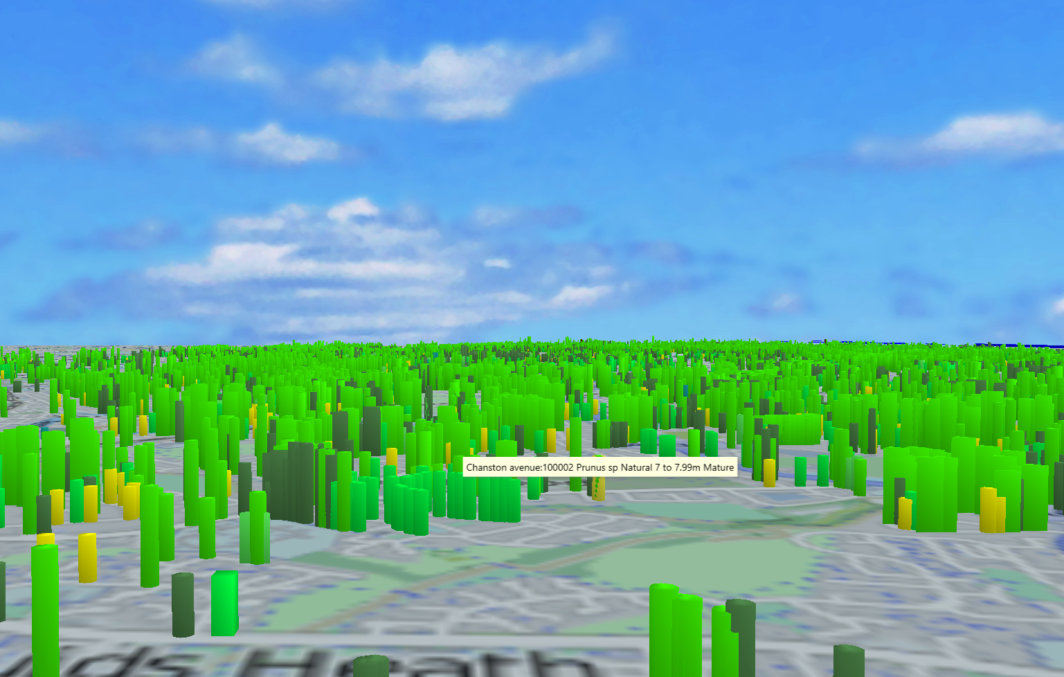
This gives a low oblique view over the city, showing relative heights - as expected the younger trees tend to be smaller!

Close in on a set of pollarded and unbalanced trees. Bright green are mature, dull green are semi-mature. The small blue one has unspecified data.
We can use the standard Datascape search, filter and scrub features to help analyse the data.
We've published a subset of this visualisation to the web so that you can fly around and investigate it yourself. Just click on the image or link below.

More datasets from WMDDS to follow!
No comments:
Post a Comment